
All work
Safe Streets Map (own product) · Public safety data
Turning California crash records into an interactive safety map
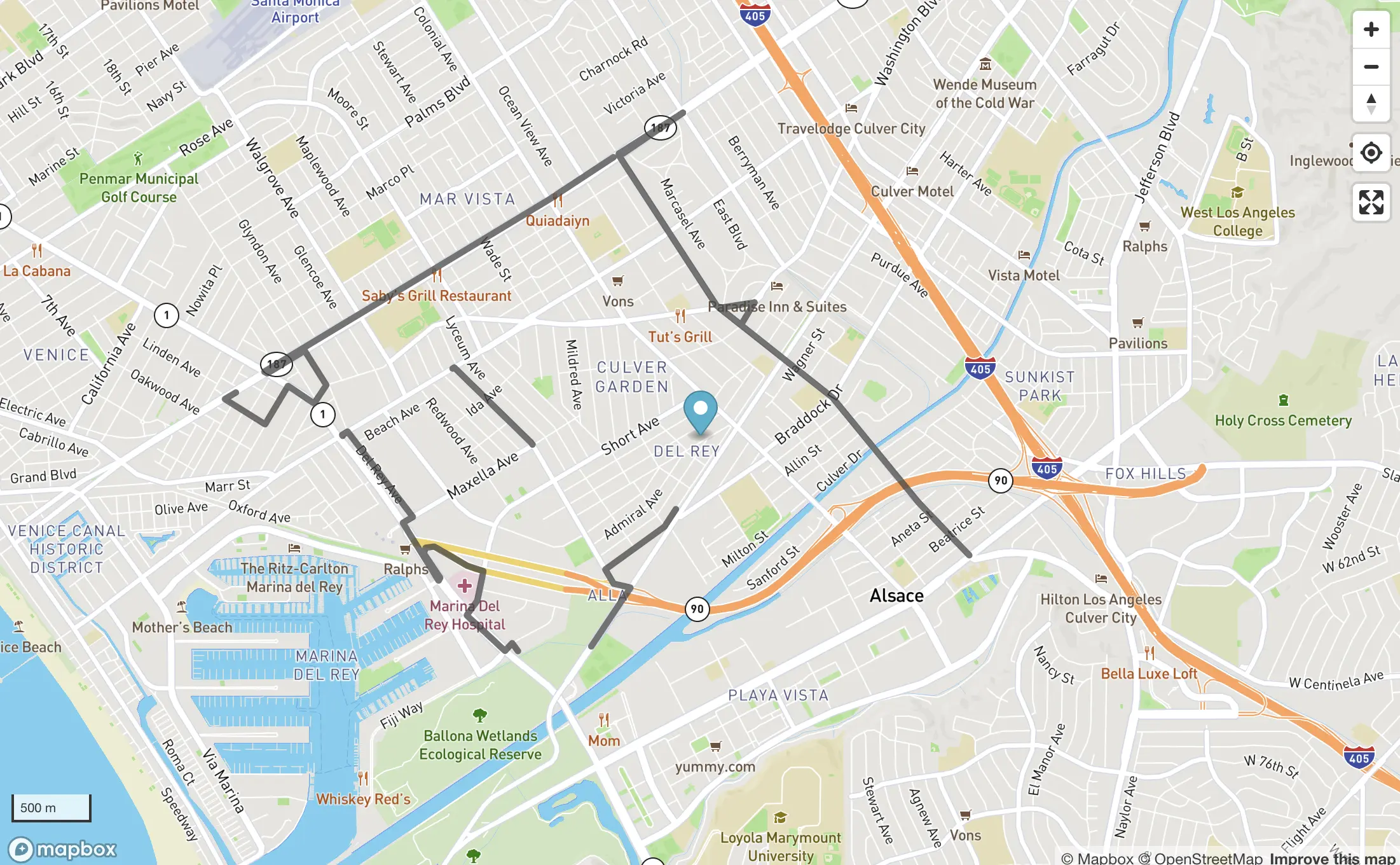
An interactive map of California collision data built from public CHP/SWITRS and CCRS records, with filtering, 3D views, and a data importer.
- Role
- Founder and sole engineer
- Built with
- Next.js, React, Mapbox GL, Tailwind CSS
- Integrations
- CHP SWITRS, CCRS
The problem
California publishes detailed collision records, but as bulk datasets that are practically unusable for a rider or driver who just wants to know which roads are dangerous. The data needed to be cleaned, joined, and put on a map someone could actually read.
The approach
- 01
Data pipeline from public records
Collision records from the CHP SWITRS and CCRS datasets are imported, normalized, and served through purpose-built API routes.
- 02
A map people can use
A Mapbox front end with filters, city views, and a 3D mode turns large public collision datasets into patterns a person can see at a glance.